About the Serengeti Plains Formation
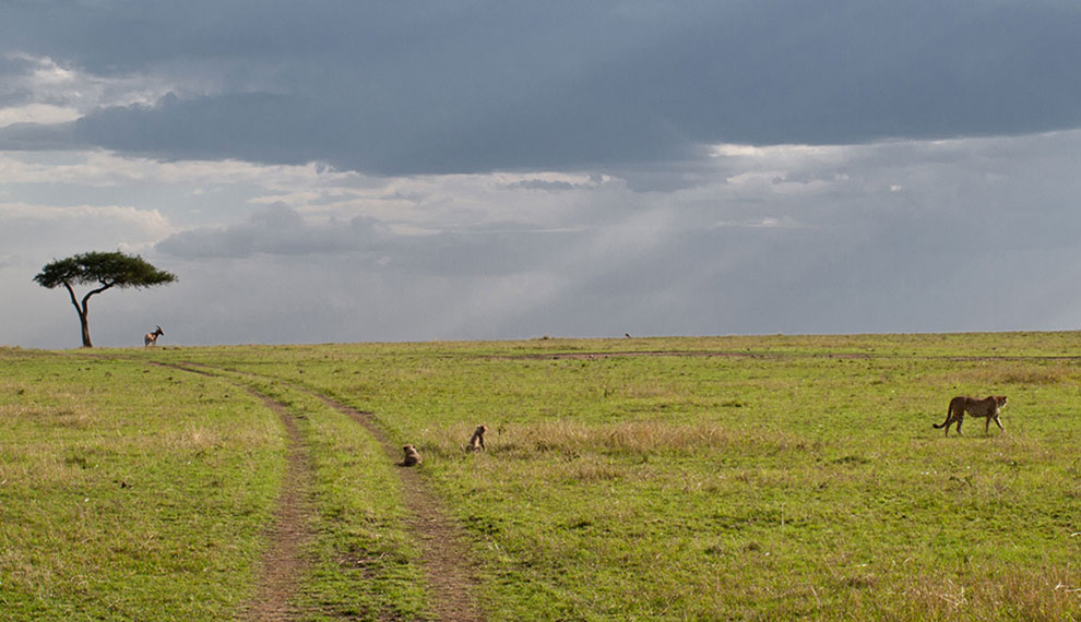
The plains cover more than 5000 sq km of the Serengeti and surrounding areas – almost a third of the park area and are probably what most people think of when you mention the Serengeti (it’s actually what the word means in Maasai – “endless plains”). It’s really worth looking for at why they are there and how the whole landscape fits together with the rift valley and Ngorongoro.
The base rock of the plains is Precambrian. This period spanned between 4600 and 500 million years ago, a not insignificant chunk of time a very long time ago. This base layer is made up of metamorphic rocks like gneisses and schist mixed with quartzes. Overlaid on top of this is a blanket of fine volcanic ash from eruptions along the edge of the rift valley in the Ngorongoro Highlands.
The principle eruption in the formation of the plains was apparently Kerimasi, although this is hard to believe when you see it – a modest looking dormant volcano just south east of Lengai near Lake Natron. It erupted in what was clearly a major way 150,000 years ago. Subsequently Ol Donyo Lengai has kept things topped up in recent years, erupting 15 times since the end of the 19th Century, most recently at the end of 2007. If you climb it today and hear it boiling away like a cauldron you can’t help wondering when the next big one will come (like maybe before you have a chance to get down again).
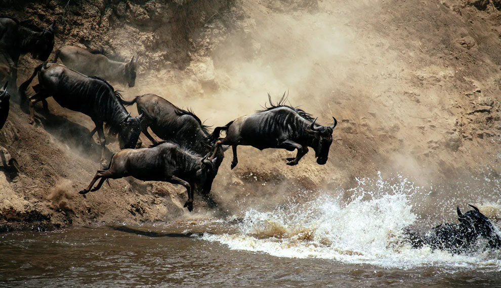
The prevailing wind direction in the Serengeti is from the east, so what you see when you look at the pattern of the plains is what amounts to an enormous vomit of ash which has blown down wind from the source of eruption. The plains extend from the Selai plains in the northeast near Lake Natron, south through Gol Kopjes and around the base of the highlands to Ndutu and from there west as far as Seronera. They are at the heart of the wildebeest migration; the birthing ground for the calves during the green season, but dry, barren and unable to sustain life during the dry – hence the need to migrate.


